The EU announced on Sunday the activation of its rapid response mapping service to trace the Iranian president's helicopter that crash-landed on Sunday.
"Upon Iranian request for assistance we are activating the @CopernicusEMS rapid response mapping service in view of the helicopter accident reportedly carrying the President of #Iran and its foreign minister," EU Emergencies Commissioner Janez Lenarcic said on X.
This activation comes in response to the reported helicopter accident involving Iranian President Ebrahim Raisi, and Foreign Minister Hossein Amir-Abdollahian.
The Copernicus EMS, renowned for its rapid and precise mapping capabilities, will support the ongoing search and rescue efforts.
The service aims to provide crucial geospatial information to aid in locating and assessing the situation at the accident site.
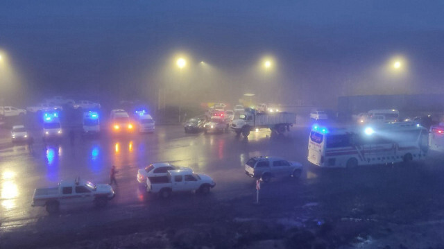
The helicopter carrying Raisi reportedly made a hard landing due to weather conditions while returning from a dam inauguration ceremony on the Azerbaijan border.
The Iranian Red Crescent previously announced that the "crash" occurred between Kaleybar and Varzaqan. Iranian Interior Minister Ahmad Vahidi emphasized that rescue teams had not yet reached the area.
East Azerbaijan Deputy Governor Jabbarali Zakiri stated that two of the three helicopters in Raisi's convoy had landed, while one had crashed.